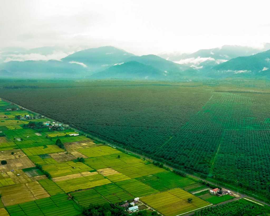
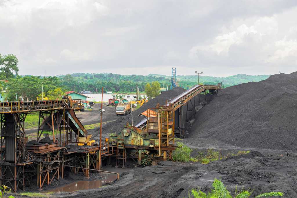
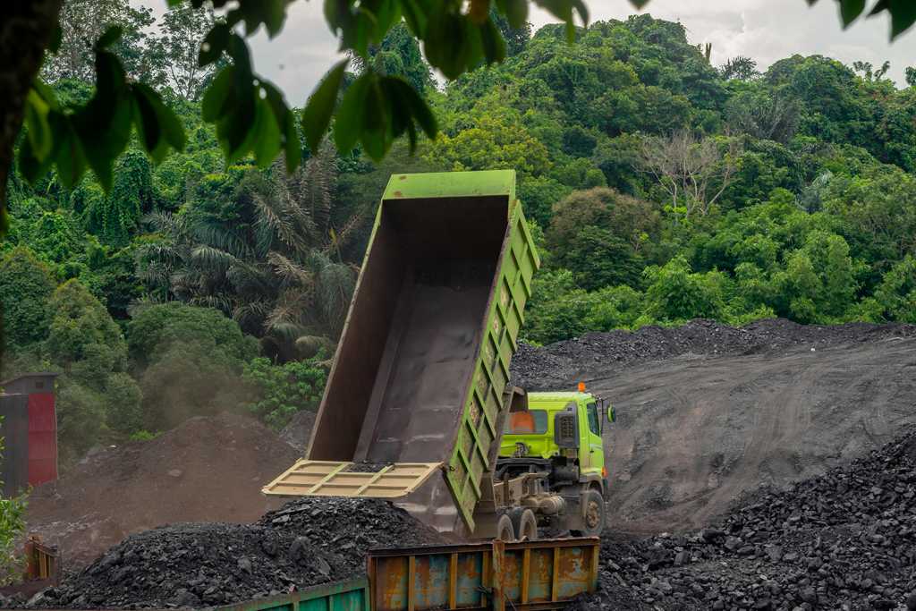
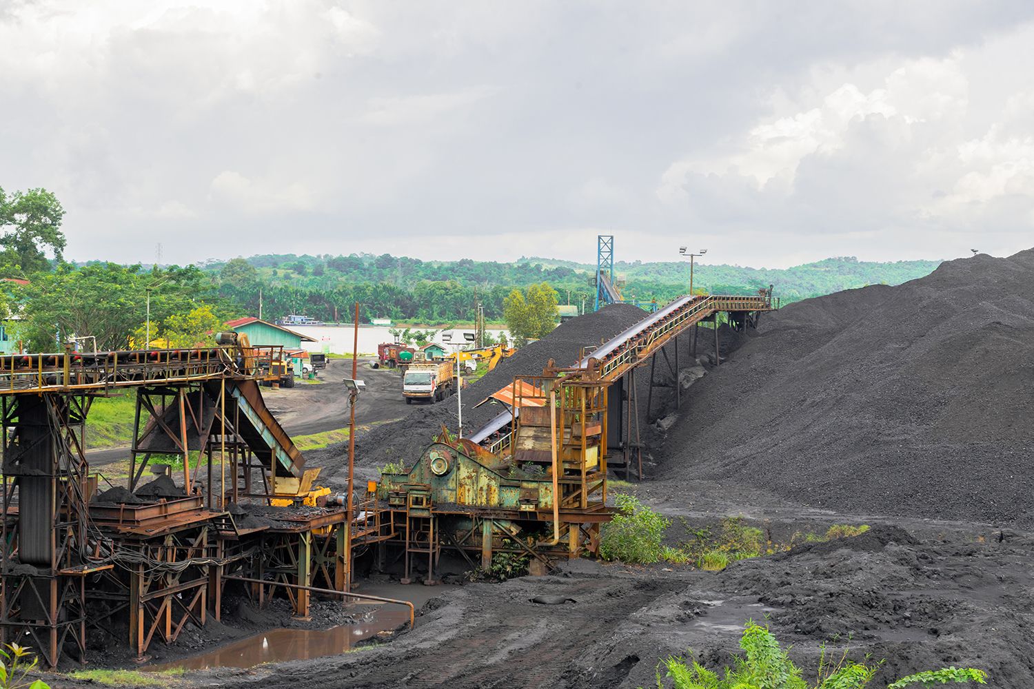
Forests cover 31% of the total land area of the earth. It is home to multitude of animal and plant species that produce oxygen for the survival of humans. We can find 10-15% of the world’s plants, mammals, and various species of birds in the forests of Indonesia. However, according to Global Forest Watch data, during the period 2001 to 2017 Indonesia lost 15% (24.4 million hectares) of the total forest cover area. This can caused by deforestation (the change of forest land cover to non-forest, such as plantations, dry agriculture, mixed farming, mining, residential areas, and others). One of the main causes of deforestation is by commodities consisting of agriculture (including oil palm), mining, and infrastructure development. Forest fires can also be one of the causes of deforestation. This condition affects human life and threatens various plant and animal species.

Southeast Asia is referred as the region with the fastest habitat loss in the world (Duckworth, 2012). Indonesia’s forests represent around 44% of the forest area in the Southeast Asia region which continues to face increasing deforestation (Abood, 2015). Our beloved country has experienced a significant decline in deforestation since 2014, but the deforestation activity continues to this day. Based on this, it is natural that the World Resources Institute predicts that in 2020 all countries in Southeast Asia will lose forests in total. Studies conducted by the World Resources Institute (WRI) in Indonesia show that forest loss in Indonesia is 55% in the concession area and the rest is outside the concession area. The concession area is a natural forest area that is designed to be selected on the basis of forest concession rights (HPH). This forest is also known as production forest. Areas in the concession include legal boundaries for oil palm, wood fiber, mining and selective logging. The study also shows that oil palm and wood fiber plantations are a major contributor to forest loss in Indonesia. The forest in that area was also reduced by 3.6 million hectares since 2000 or almost equivalent to three times the area of New York City.
Not only ecological impacts, deforestation is known to have an impact on the spread of New Emerging Infectious Diseases (PMBM). The existence of land changes such as deforestation increases the contact distance between humans and disease vectors. The closer the contact distance, the quicker this vector-based disease spread to the human population. One study released by the Journal of Emerging Infectious Diseases, shows that there has been a sharp increase in malaria cases in parts of Malaysia’s Borneo Island following a rapid rate of deforestation. When conversion of forest land to plantations occurs, the growth of lower size vegetation provides a much more suitable habitat for mosquitoes carrying malaria parasites. The vector carrying malaria, Anopheles darlingi, in deforested areas bites 278 times more often than those in primary forests (Vittor, 2006). The results of this study were also supported by another study conducted in Peru which found the fact that there was an increase in the number of 200-fold malaria cases after the conversion of forest land into agricultural areas and infrastructure development. Research in Brazil, in the Journal of Emerging Infectious Diseases in 2010, also supports previous research that 4% deforestation results in an almost 50% increase in malaria cases in humans.
Riau
Riau have around 8.97 million hectares total land cover area. During 1990 to 2015, land conversion became an unavoidable fact. Data shows that primary forest area is 4%, secondary forest is 58.4%, and plantation forest is 1%. Primary forest is a forest cover area consisting of primary mangrove forest, primary swamp forest, and primary dryland forest. Secondary forests consist of secondary mangrove forests, secondary swamp forests, and secondary dryland forests. Indications of possible conversion of land to plantations are illustrated by the increase in the total area of plantation forest to 7.61% in 2015. On the other hand, the area of primary forest cover fell to 2.49% and secondary forest to 15.68%. In addition to conversion to other types of land cover, deforestation also occurred during the 25-year period. The annual deforestation rate in Riau generally fluctuates. Primary forest experienced the highest deforestation rate in 2012 (5.7%). This indicates an indication of a violation of the moratorium on changes in primary forest land cover that was in effect at that time. Secondary forests experienced the highest deforestation rate in 2011 (9.06%). Meanwhile, plantations had the highest deforestation rate in 2014 (13.37%). In general, deforestation in Riau is carried out for the opening of plantation land. This was indicated by the increase in plantation land cover area from 10.25% in 1990 to 32.1% in 2015. When compared with other non-forest types, the conversion of forests to plantations had an increasing trend over a period of 25 years. Land requirements for plantations are one of the causes of deforestation. Large and small oil palm plantations in Indonesia are responsible for 85% of deforestation (Uryu et al., 2008).

East Kalimantan
East Kalimantan has a total land cover area of around 12.56 million hectares. The area of primary and secondary forest land cover for 25 years has decreased, while the area of plantation forest cover has increased. In 1990, there were 24.82% of primary forest cover and 41.63% of secondary forest. Meanwhile in 2015, both areas were reduced to 17.41% for primary forests and 35.01% secondary forests. This phenomenon also occurred in East Kalimantan where the area of plantation forest cover increased from 1.65% in 1990 to 2.93% in 2015. In general, the rate of deforestation in East Kalimantan has a fluctuating rate. The annual deforestation rate of primary forest reached its peak in 2000 (6.13%), while the highest annual deforestation rate in secondary forests occurred in 1996 (3.08%). Compared to Riau, plantations are not the main cause of deforestation. However, the area of plantation land cover continues to increase over 25 years. In 1990, the total area of plantation land cover was 2.3%. Then in 2015, the total area of plantation land cover increased to 8.79%. For 25 years, the total area of land cover has increased from 18.12% to 22.82%. This change is suspected to be the initial stage of land clearing before being used as a plantation or mining area.
West Papua
The condition of forest cover in West Papua Province is far better than the two previous provinces. The total area of forest cover in West Papua is around 9.78 million hectares. The primary forest cover area in 1990 was known to be 81.17%, while secondary forest was 10.08%. However, over time, the area of primary forest land cover decreased gradually to reach 60.44% in 2015. On the other hand, the area of secondary land cover increased to reach 29.72% in 2015. The annual deforestation rate in this province is not as massive as Riau and East Kalimantan. In primary forests, the highest annual deforestation rate occurred in 2014 at 3.9%. Deforestation in West Papua’s secondary forests is still very small. In 2011, the annual deforestation rate was 0.64%. Conversion of land to non-forest in West Papua was found more in the form of shrubs, which was 3.5% in 1990 to 3.74% in 2015. In general, forests in West Papua tend to experience conversion from primary forests to secondary forests as illustrated by an increase in patterns and decrease in land cover. This condition can be an “early warning” for policy makers to prevent further forest conversion.
Now, what is the solution?
Indonesia One Health University Network (INDOHUN) is collaborating with USAID, University of Minnesota (UMN), and EcoHealth Alliance to develop the Disease Emergence and Economics Evaluation of Altered Landscapes (DEAL) research to find out the negative effects of land changes that might occur in the Indonesian people. The policy makers need to be aware that the balance between economy and environmental conditions is important to be maintained, so as to minimize losses in the health and ecosystem sectors. Collaborative research DEAL is carried out in three regions of Indonesia, namely Riau, East Kalimantan, and West Papua. The sources of the study including data from Ministry of Environment and Forestry from 1990, 1996, 2000, 2003, 2006, 2009, 2011, 2012, 2013, 2014 and 2015. Based on these data, an analysis was conducted to determine the extent of forest cover changes and deforestation rates in the three study areas.

Prof. Wiku Adisasmito as Professor of the Indonesian Faculty of Health stated that deforestation is a sensitive issue that correlates with political and economic factors. Therefore, objective research is needed regarding this sensitive issue in relation to its relationship to public health, both in terms of health and economy, so that the use of land changes can be carried out responsibly without any more harm done. Also, according to the Food and Agriculture Organization of the United Nations (FAO), Emerging Infectious Diseases (EID) are global challenges to the world of science, global health, and human development. The rapid changes of the world due to globalization have caused closer contact between humans, domestic animals, wild animals and fauna. Any changes in unregulated forest land use can cause an increase of zoonotic diseases and vector-based infectious diseases. Considering the huge impact of new emerging infectious diseases on humans and the economy, collaboration between the agriculture, forestry and public health sectors is needed to develop policies for prevention and control of new emerging infectious diseases.
